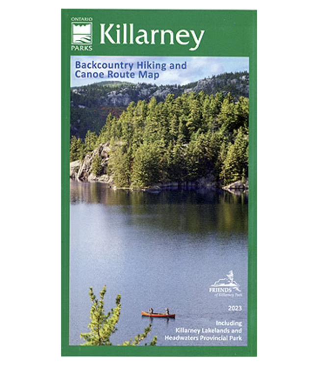
This waterproof, large format, medium-scale (1:55,000) topographic map of the entirety of Killarney Provincial Park, is perfect for planning your trip, and guiding you on the ground, or waters of this northeastern Ontario Park on the north shore of Georgian Bay. It provides good land and water details, as well as the essentials for hiking, backpacking and paddling adventures - all access points, campsites, portages, short and long-distance backpacking trails and other points of interest. This official Ontario Parks map and guide is the ideal reference for anyone visiting the Park.